
Last Updated: November 5, 2026
Quick Summary
Geographic identity is the sense of self a person or group draws from a location, its name, its landscape, and its shared history. Examples appear at every scale, from Carrollton in New Orleans and Baltimore's working harbor to the Midwest, the Grand Canyon, Denali, and Rio Grande border communities.
- Place identity is the personal, psychological bond between an individual and a specific location.
- Carrollton, New Orleans, kept its name after the streetcar line that named it disappeared.
- Denali was renamed Mount McKinley in 1917, and the name was restored in 2015.
- The four-question checklist uses name, memory, ritual, and threat tests scored one to five.
- Regional identity is broader than place identity and more portable.
Table of Contents
- What Geographic Identity Examples Reveal About Who We Are
- Place Identity Definition Geography: The Core Concepts
- Place Identity Theory and How It Explains Attachment
- Place-Based Identity Across Neighborhoods, Cities, and Regions
- How Does Place Shape Identity? Culture, Landscape, and Memory
- Concrete Geographic Identity Examples at Every Scale
- A Practical Framework for Identifying Geographic Identity
- Wear Your Geographic Identity With the Correct Names
- Frequently Asked Questions
What Geographic Identity Examples Reveal About Who We Are
A place name can survive four centuries and still end up on a t-shirt as a protest. That is the strange power of geographic identity: the names on maps are never just labels. They carry memory, politics, and a claim about who belongs where. Some people print original place names on shirts because they think the name a place has carried for centuries says more than whatever a signature in Washington decides this week. Below, we break down what geographic identity examples actually reveal, from a neighborhood block to a mountain range, and give you a practical way to identify the places that shaped you.
Geographic identity is the sense of self a person or group draws from a location, its name, its landscape, and its shared history.
Place Identity Definition Geography: The Core Concepts
Place identity is the collection of meanings, memories, and emotions a person attaches to a specific location, which then becomes part of how that person defines themselves. Geography adds the spatial layer: boundaries, territory, and the physical setting all shape which identities are available to you.
Three concepts do most of the work:
- Space is the raw, undifferentiated setting. Place is space given meaning through experience and memory.
- Place attachment is the emotional bond that forms when a location becomes familiar and safe.
- Sense of place is the shared character a community reads into its surroundings, from landmarks to local speech.
The distinction matters because it separates location from belonging. Two people can live on the same street and feel entirely different attachments to it. Our guide to the meaning behind Indigenous place names shows how original names encode that attachment before any mapmaker arrived.
Place Identity Theory and How It Explains Attachment
Place identity theory holds that a location becomes part of personal identity through a cycle of interaction, memory, and social reinforcement. You internalize a place by living in it, then defend it when it is threatened.
Environmental psychologists describe this as identity formation tied to the physical environment. The built environment, from row houses to courthouse squares, gives people symbols they can point to and say: this is us. The material environment does the same work at a smaller scale, down to the brick on a corner store.
What most summaries miss is the conflict built into the theory. Attachment to place often hardens into exclusion of outsiders, which is why regional identity can turn defensive. For a deeper treatment of how geography and human identity connect, these books on geography and human identity are the ones we would start with.
Place-Based Identity Across Neighborhoods, Cities, and Regions
Place-based identity operates at every scale, and each scale produces a different kind of loyalty. A neighborhood identity forms around blocks, schools, and shared routines. City identity forms around skyline, sports, and civic myth. Regional identity forms around landscape and accent, and it tends to be the most stubborn of the three.
Consider how the same person can hold all of these at once. Someone might feel rooted in a specific block, proud of a city, and defensive about a region, all without contradiction. Spatial inequality complicates the picture: relative status attaches to addresses, and a zip code can carry more social meaning than a biography.
Boundaries reinforce all of it. A river, a highway, or a line on a map tells people who is inside and who is not, and those lines get internalized early.
How Does Place Shape Identity? Culture, Landscape, and Memory
Place shapes identity through three channels: culture, landscape, and memory. Culture supplies the shared meanings and rituals. Landscape supplies the physical setting that people learn to read. Memory supplies the history that turns a location into a symbol.
Landmarks and monuments do the visible work. A statue, a renamed building, or a restored theater becomes a container for collective memory, and fights over those symbols are fights over identity itself. Topography matters too: a coastline, a valley, or a mountain range teaches a community what to expect from the world and how to move through it.
Geography is political for exactly this reason. Naming a place is an exercise of power, and renaming one is a claim that the past should be overwritten. That is why geography is a political issue worth understanding before you wear any place name on your chest.
Concrete Geographic Identity Examples at Every Scale
Here is where the concept gets concrete: geographic identity examples show up at every scale, and each one demonstrates a different mechanism.
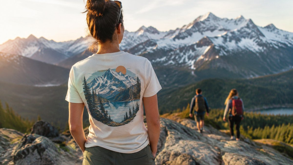
Neighborhood scale. A neighborhood named for a streetcar line that no longer exists still shapes how residents describe themselves.
City scale. A city built around a harbor develops a working identity tied to water, weather, and trade, and residents read that identity into everything from food to architecture.
Regional scale. A rural region defined by farmland and a shared accent produces a regional identity that survives relocation.
National scale. Mountains, lakes, and gulfs become national symbols, and their names become shorthand for a whole set of values.
Indigenous and original-name scale. Original names of landmarks carry the clearest evidence of all. Our collection of original names of US landmarks before the rename walks through specific cases where a place carried one name for generations before a newer label arrived.
Border and diaspora scale. Identity also forms where geographies meet.
The pattern across all of these scales is the same: a name, a landscape, and a memory combine, and people attach themselves to the combination.
The article walks through named cases at each scale, each showing a different mechanism that builds geographic identity.
| Scale | Example | Mechanism |
|---|---|---|
| Neighborhood | Carrollton, New Orleans | Streetcar line name outlives the infrastructure |
| City | Baltimore | Working harbor shapes row houses, crab culture, civic humor |
| Regional | The Midwest | Farmland, vowel shift, self-image of plainspokenness |
| National | Grand Canyon | Physical feature stands in for awe and American scale |
| Indigenous and original-name | Denali | 1917 renaming to Mount McKinley; 2015 restoration |
| Border and diaspora | Rio Grande communities | Identities neither fully one national culture nor the other |
A Practical Framework for Identifying Geographic Identity
Use this framework to identify your own geographic identity and to tell it apart from the related concepts that get confused with it. The first part is a short checklist; the second part is the distinction that most explanations skip.
The four-question checklist. Answer each honestly, then look for the overlaps.
- Name test: Which place names do you correct when someone gets them wrong? That correction instinct marks attachment.
- Memory test: Which landscape appears in your earliest memories, and what season is it?
- Ritual test: Which local routine would you miss most if you moved, and who would you do it with?
- Threat test: Which proposed change to a place, a name, or a building would genuinely bother you?
Score each answer from one to five on intensity, then rank the four. The highest total points to your primary geographic identity, and the lowest tells you which scale matters least. Most people discover that one scale dominates and the others are background.
The distinction that matters. Geographic identity is not the same as the concepts it is usually lumped with, and the differences are practical:
- Place identity is the personal, psychological bond between an individual and a specific location. It is the smallest unit and the most emotional.
- Regional identity is a shared identity tied to a broad area defined by landscape, accent, and history. It is broader than place identity and more portable.
- National identity is a political and civic identity tied to a state, its symbols, and its borders. It can exist with weak attachment to any particular landscape.
- Cultural identity is organized around language, ethnicity, religion, and practice, and it may have no fixed geography at all.
Geographic identity sits at the intersection: it is the part of self that comes specifically from location, name, and landscape. A person can have a strong cultural identity and a weak geographic one, or the reverse.
Watch out: the trap here is confusing nostalgia with identity. A place you visited once and romanticized is not the same as a place that shaped you, and the framework only works if you answer from lived routine rather than memory of a vacation. The same caution applies to the distinctions above, a national symbol you admire is not automatically part of your geographic identity.
Wear Your Geographic Identity With the Correct Names
Once you have identified the places that shaped you, expressing that identity is the natural next step. We built Correct Geography for exactly this: shirts that carry original place names, printed to order on soft, lightweight ring-spun cotton with shoulder-to-shoulder taping and double-stitched necklines and sleeves.
Our Denali - The Great One Tee ($25.00) carries the name Alaska Native people used for the mountain for centuries. The Gulf of Mexico - Since 1552 Tee ($25.00) makes the same point about a body of water that had its name long before anyone thought to revise it. If you want the short version, the Corrected Names Tee ($25.00) prints three corrections in red and lets the shirt do the explaining. For a quieter option, the Lake Ontario - Est 1615 Tee ($25.00) pairs vintage script with a date and skips the argument entirely.
You can browse the full t-shirt collection and pick the place whose name you would defend in a conversation.
Frequently Asked Questions
What is a geographic identity?
Geographic identity is the part of who you are that comes from where you live, where you grew up, or where you feel you belong. It includes the landscape you know, the local culture you share, and the memories tied to a specific place. A person raised near the Great Lakes may feel a Great Lakes identity that shapes how they talk, what they eat, and how they vote. Geographic identity works alongside personal identity, cultural identity, and collective identity rather than replacing them.
What are some examples of geographic identity?
Geographic identity examples range from the very small to the very large. At the neighborhood scale, a resident of a historic district may feel attached to its architecture and local customs. At the city scale, a New Yorker or a Chicagoan carries a recognizable regional identity. At the national scale, the Gulf of Mexico has carried its name since 1552, and people along its coast treat that name as part of their shared identity. At the global scale, climate change and digital life are creating new forms of place attachment.
What is the difference between geographic identity and place identity?
Geographic identity focuses on how location, territory, and spatial setting shape who you are. Place identity theory, developed in environmental psychology, focuses on how a specific place becomes part of your self-concept through memory, attachment, and daily routine. The two overlap heavily. A useful way to separate them: geographic identity asks where you are from and how that location marks you, while place identity asks how a particular place lives inside your sense of self.
How does place shape a person's identity?
Place shapes identity through four main channels. First, the physical environment, including landscape and topography, sets the rhythm of daily life. Second, the built environment and landmarks give people shared symbols to gather around. Third, culture and community transmit local meanings, from food to dialect. Fourth, memory and local history connect a person to past generations. Together these channels encode place into personal identity, which is why people defend place names, monuments, and boundaries with real emotional force.
Place names get rewritten, and the people who live with them are expected to keep up. We think the original name is worth keeping, and worth wearing. Correct Geography prints original place names on ring-spun cotton tees, with vintage-style designs, printed-to-order production, and a simple idea behind every shirt: some things do not need rebranding. Get started with Correct Geography and wear the name your place has carried all along.
