
Table of Contents
- Why Geographic Names Are Being Changed
- Using Historical Maps for Landmark Identification
- How to Research Historical Place Names
- Reading the Landmark Itself for Clues
- A Step-by-Step Method for Identifying Erased Geographic History
- What Erased Geographic History Looks Like in Practice
- Conclusion
- Frequently Asked Questions
Last Updated: September 16, 2026
Why Geographic Names Are Being Changed
Geographic names change for two very different reasons, and telling them apart is the first step in identifying erased geographic history in landmarks. One reason is organic: languages shift, borders move, and communities adopt new names over generations. The other is political: a name is deliberately replaced to sever a place from its past.
The second category is what most people miss. A rename that arrives by executive action, with no local referendum and no gradual adoption, is a top-down edit rather than an evolution. The Gulf of Mexico carried that name on European maps by 1552, and Alaska Native peoples called the continent's tallest peak Denali for centuries before a federal board renamed it in 1975 and then reversed course in 2015. The mountain's name has changed, which tells you the naming process itself is contested ground.

Correct Geography exists because of that pattern. We print shirts carrying original place names. Below, we'll walk through the exact process historians and archivists use to identify erased geographic history in landmarks, from paper maps to the lettering still visible under a fresh coat of paint.
Using Historical Maps for Landmark Identification
Historical maps are the fastest way to confirm what a landmark was called before a rename, because they capture the name as it existed on paper at a specific date. The Library of Congress Geography and Map Division holds one of the largest public map archives in the world, and most of its holdings are digitized and free to search.
Start with topographic sheets from the U.S. Geological Survey, which has published quadrangle maps since the 1880s. Layering a 1910 quadrangle over a current one reveals every name that disappeared in between.
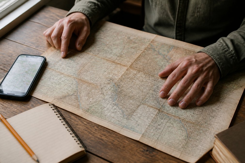
A few practical notes from our own research process:
- Compare at least three map editions from different decades before concluding a name was erased rather than simply misspelled.
- Check the map's marginalia and index pages, not just the main sheet. Former names sometimes survive there.
- Note the publisher. Government surveys, railroad maps, and commercial atlases each carried different naming biases.
The gap between what a map shows and what a community actually called a place is often where the real story lives.
How to Research Historical Place Names
Researching historical place names means tracing a name through primary documents rather than relying on secondary summaries. The U.S. Board on Geographic Names maintains the official federal record, and its decisions are searchable through the U.S. Geological Survey Geographic Names Information System, which lists current and historical variants for millions of features.
Work through these sources in order:
- Federal records: Board on Geographic Names decision lists and GNIS entries show the date and authority behind each official change.
- Local archives: County historical societies, public library special collections, and university archives hold plat books, deeds, and newspaper runs.
- Oral histories: Community memory often preserves a name that never appeared in a government document.
- Newspaper databases: Coverage around the date of a rename shows who pushed for it and who objected.
A common mistake is treating the earliest written source as the "original" name. Written records favor whoever was doing the writing, which is rarely the community that lived there. Cross-reference at least two independent source types before you settle on a conclusion.
Reading the Landmark Itself for Clues
The landmark itself frequently preserves evidence that no document records. Physical traces of erased geographic history survive in stone, concrete, and hardware long after the official name changes.
Look for these specific markers:
- Ghost lettering: Painted signs on brick often bleed through later paint. Angle a light across the surface at dusk to catch the raised outline.
- Cornerstones and dedication plaques: These carry the name in use at construction, which can predate a rename by a century.
- Cast-iron hardware: Street signs, fence posts, and utility covers were expensive to replace, so old names lingered on them for decades.
- Asymmetric signage: If a sign's lettering sits off-center or covers a patched area, a longer original name may have been removed.
A Step-by-Step Method for Identifying Erased Geographic History
Identifying erased geographic history in landmarks follows a repeatable six-step method. Work through it in order, and document each step, because the chain of evidence is what makes a finding credible.
| Step | Action | Time Needed | What You Produce |
|---|---|---|---|
| 1 | Record the current name and its official adoption date | 15 minutes | Baseline record |
| 2 | Pull three historical maps from different decades | 1-2 hours | Name change timeline |
| 3 | Search federal and local name registries | 1 hour | Documented variants |
| 4 | Inspect the physical landmark for ghost lettering | 30 minutes | Photographic evidence |
| 5 | Cross-reference with newspaper and oral history | 1-2 hours | Context and motive |
| 6 | Compile a dated evidence chain | 30 minutes | Citable conclusion |
Here is the same method in prose, with the reasoning behind each step.
Step 1: Establish the baseline. Write down the current official name and the date it was adopted. Without this anchor, you cannot measure what changed.
Step 2: Build a map timeline. Three maps from different decades will usually reveal whether a name shifted gradually or snapped overnight. Gradual shifts suggest organic evolution; overnight changes suggest deliberate erasure.
Step 3: Search the registries. Federal and state name authorities record the legal basis for each change. A rename with no documented public comment period is a red flag.
Step 4: Inspect the landmark. Physical evidence outranks documentary evidence when the two conflict, because a cornerstone cannot be edited after the fact.
Step 5: Find the motive. Newspaper coverage from the year of the change usually names the people who pushed it and their stated reasons.
Step 6: Assemble the chain. Present your finding as a dated sequence: name in use, date of change, authority behind the change, physical evidence of the prior name.
What Erased Geographic History Looks Like in Practice
Erased geographic history shows up in recognizable patterns once you know what to look for. Across the landmarks we have researched, the same handful of scenarios repeat.
The most common is the administrative rename: a federal or state body changes a name by vote, and the old name survives only on maps printed before that date. The second is the commercial overwrite, where a sponsor's name replaces a descriptive or Indigenous one on a stadium, plaza, or trail. The third is the quiet correction, where a name is changed without announcement and the public simply notices one day that the signs are different.
Denali is the clearest example of the first pattern. The peak was officially named Mount McKinley in 1917 by federal action, despite the Alaska Native name Denali being in continuous use for centuries. The name was restored in 2015, which means the "original" name on any given map depends entirely on which year the map was printed.
That volatility is the point. Names that survive political cycles are the ones with deep community roots, and those roots are exactly what this kind of research uncovers.
Conclusion
The challenge with this work is that the evidence is scattered across map archives, county records, and the physical surfaces of the landmarks themselves, and no single source tells the whole story. Correct Geography builds its designs on that same research, and the results are wearable: the Corrected Names Tee prints the Gulf of Mexico, Kennedy Center, and Lake Ontario with the corrections marked in red, the Gulf of Mexico - Since 1552 Tee marks nearly five centuries of a name that never needed fixing, and the Denali - The Great One Tee honors the name Alaska Native peoples used long before any federal board weighed in. Each is printed to order on 100% ring-spun cotton with double-stitched necklines and shoulder-to-shoulder taping, at $25.00. Get started with Correct Geography and wear the name that was there first.

Frequently Asked Questions
How do I find the original name of a historical landmark?
Start with the National Register of Historic Places and its nomination files, which often list earlier names. Then check the U.S. Board on Geographic Names' Geographic Names Information System, which records name changes and dates. Cross-reference with county plat books, Sanborn fire insurance maps, and local newspaper archives. If the landmark sits on federal land, agency cultural resource reports often document both the current and former names, along with who requested the change and when.
Why are geographic names and landmark titles changed over time?
Renaming usually follows one of four triggers: a political administration wanting a visible legacy, a community correcting a name that honored someone with a harmful record, a spelling or language shift over generations, or a federal board standardizing inconsistent local usage. The U.S. Board on Geographic Names has handled domestic name decisions since 1890, and Secretaries of the Interior can also direct renamings. Knowing which trigger applies tells you where to look for the paper trail.
Can historical maps help identify lost geographic landmarks?
Yes. Topographic maps from the U.S. Geological Survey, county atlases, and even old road maps often label features that no longer carry those names. Compare a 1950s USGS quadrangle against a current one for the same coordinates and note every label that changed. Public libraries, state archives, and the Library of Congress map collection hold digitized copies. This side-by-side comparison is the fastest way to spot a rename.
What resources exist for identifying erased history in local landscapes?
The strongest starting points are the National Register of Historic Places database, the Geographic Names Information System, state historic preservation office files, and county clerk deed records. Local historical societies often hold oral histories that never made it into official documents. Tribal historic preservation offices can also confirm original names for landmarks on or near their lands. Combine at least two of these sources before treating a finding as confirmed.